Jeolla · South Jeolla / South Gyeongsang
Jirisan guide: Nogodan, Hwaeomsa valley, Cheonwangbong and ridge shelters
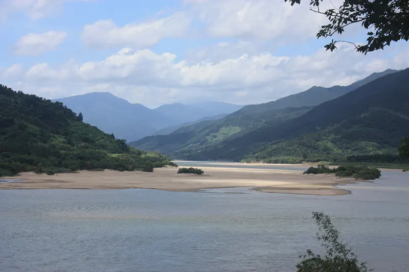
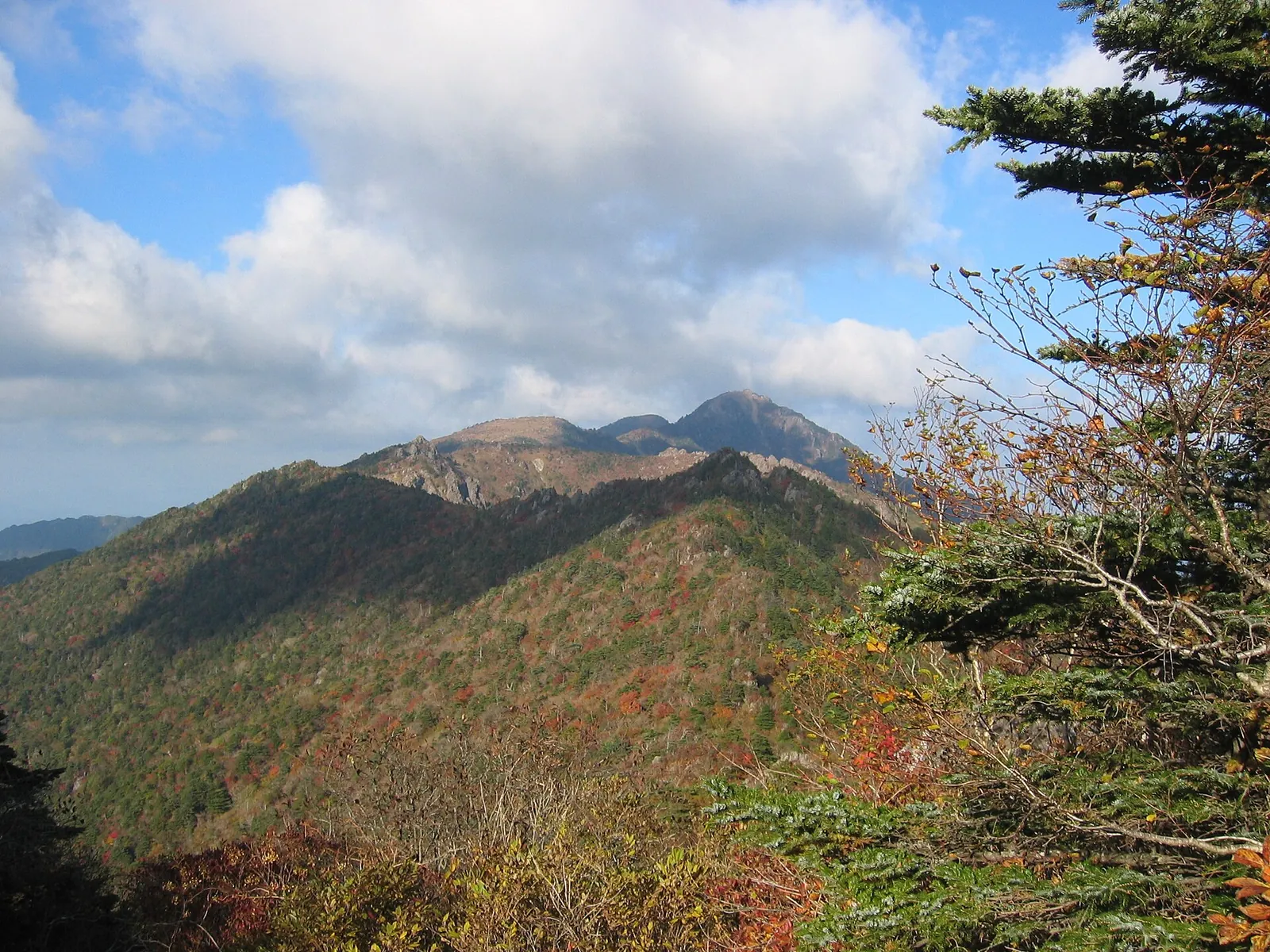
Jirisan was designated Korea's first national park in 1967. It is also its largest mountain park: the Korea National Park Service (KNPS) gives 483.022 km² across three provinces and five cities and counties, with Gurye and Namwon on the western side and Hadong, Sancheong and Hamyang on the eastern side. It is not one mountain but a long main ridge. Nogodan (1,507 m) sits at the western end, Banyabong (1,732 m) in the middle and Cheonwangbong (1,915 m) at the eastern end, with valleys running down on both sides. That shape is what makes planning confusing. The same park can mean an easy morning walk from a mountain pass, a hard climb from a temple, a long summit day from Sancheong or two nights in shelters along the ridge. Choose the trip first, then the side of the mountain you base yourself on.
- Suggested time
- 2–3 nights; 3–4 for a shelter-based ridge trek
- Where to stay
- The Hwaeomsa entrance or Gurye town for Nogodan and Hwaeomsa; Jungsan-ri in Sancheong County for Cheonwangbong
- Season and timing
- VisitKorea's 2026 foliage forecast expected the first autumn colour on Jirisan on 28 October and the peak around 5 November; actual dates depend on the weather. KNPS uses separate trail entry hours for April to October and for November to March. The shelter booking site treats 1 July to 31 August and 1 October to 15 November as peak periods. VisitKorea notes that some areas close in bad weather and to prevent forest fires in the dry season. When the trail is icy, crampons are compulsory on the Nogodan summit section, and the road to Seongsamjae is sometimes closed, so check KNPS notices before you go.
The short answer
For most first visits, give Jirisan two nights on the Gurye side, staying near Hwaeomsa or in Gurye town. On the first morning, take the bus or a taxi up to Seongsamjae and walk to Nogodan. KNPS lists the course from the Seongsamjae car park to Nogodan Pass as 4.7 km and about an hour, at its easiest grade. Then book the short summit section above the pass, which needs a reservation. Spend the second day at Hwaeomsa and in one of the valleys. Fit hikers who want the highest peak should treat Cheonwangbong as a separate trip from Jungsan-ri in Sancheong. KNPS times the Kalbawi loop there at 10.8 km and about 8 hours. The ridge trek between the two ends is for experienced hikers with shelter bookings. Do not plan any of these on the day you land at Incheon: KNPS gives about 4 hours by bus from Seoul to Seongsamjae alone.
Nogodan, Hwaeomsa or the ridge: choosing your Jirisan
Jirisan has entrances on every side, and each one leads to a different kind of day. The Gurye side in the south-west has the two easiest wins: Seongsamjae, a road pass with a car park high on the mountain from which Nogodan is a gentle walk, and Hwaeomsa, a great temple at the foot of a steep valley that climbs the same peak the hard way. The Sancheong side in the east is where most people start the climb to Cheonwangbong, the highest point. Between them run the main ridge and its shelters, and valleys such as Piagol, Baemsagol and the Ssanggyesa valley in Hadong drop away to the south and north.
Choose by fitness and by how many nights you have. Seongsamjae and Nogodan ask little of you and give you a high-mountain view in half a day. Hwaeomsa makes a fine morning on its own, and the valley above it is a real climb. Cheonwangbong takes a long day from the eastern side and an early start. The ridge between Nogodan and Cheonwangbong is a multi-day trek. KNPS lists several of its summit routes as one-night (1박2일) courses, and nobody should attempt it without shelter bookings.
- Half a day, any fitness: Seongsamjae car park to Nogodan Pass, 4.7 km and about an hour, easiest grade (KNPS), plus the reserved summit section.
- A half day to a day, reasonably fit: Hwaeomsa to Yeongiam hermitage and Munneomgi below Nogodan, 7 km and about 4 hours, hardest grade (KNPS).
- One long day, experienced hikers: Jungsan-ri via Kalbawi and the Rotary shelter to Cheonwangbong and back, 10.8 km and about 8 hours (KNPS).
- Several days with shelter bookings: the main ridge from Nogodan towards Cheonwangbong, sleeping at the ridge shelters.
Nogodan from Seongsamjae: the easy high mountain
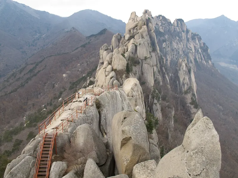
Nogodan (1,507 m) is the western bastion of the main ridge, and the reason it is so popular is the start point. KNPS describes the Nogodan course as running from the Seongsamjae car park via Munneomgi and the Nogodan shelter to Nogodan Pass. It lists 4.7 km and about an hour, at the easiest of its grades. KNPS does not say whether the figures are one way or for the return walk, so allow half a day with the summit and the walk back. When we checked on 2026-10-03, KNPS allowed entry from Seongsamjae towards Nogodan from 03:00 to 16:30 between April and October and from 04:00 to 16:00 between November and March.
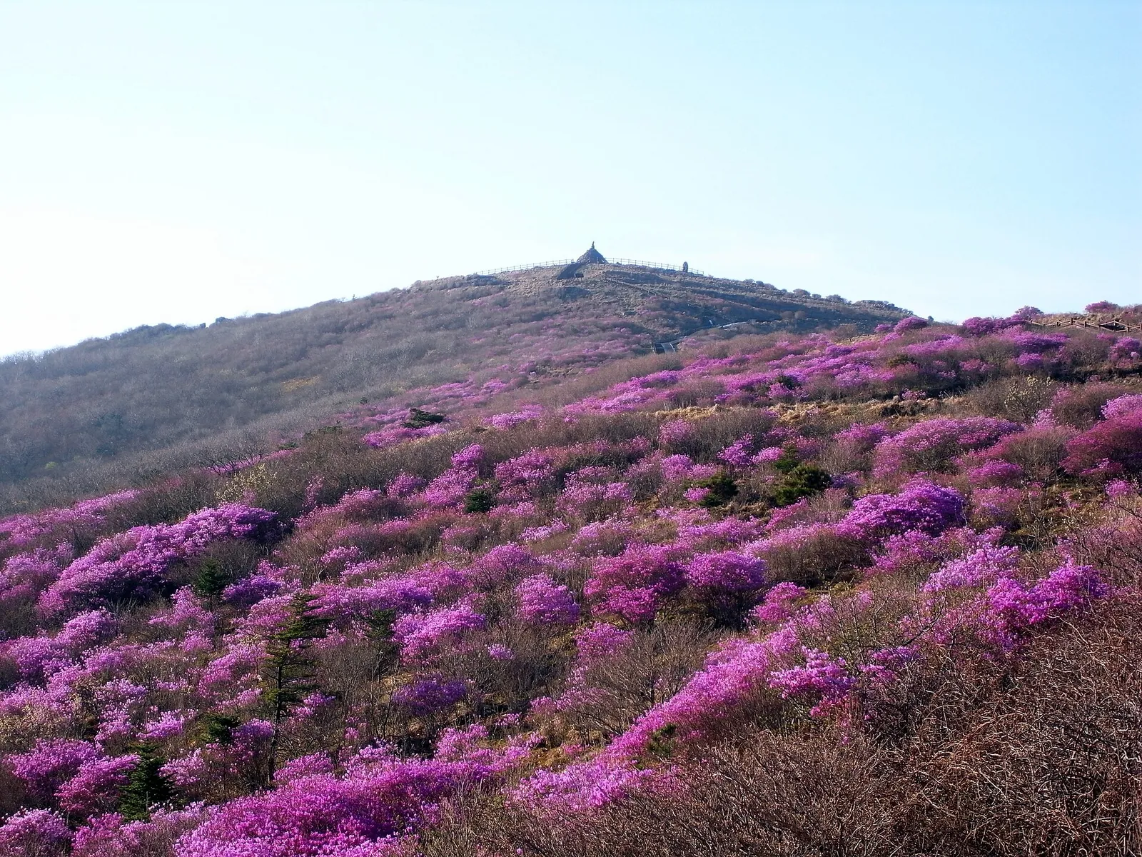
The last stretch from Nogodan Pass to the summit is a reserved trail. When we checked on 2026-10-03, the KNPS booking site listed it as 500 m one way (or 700 m by the detour path) and about 30 minutes. It was open all year from 05:00 to 17:00, with last entry at 16:00 and a daily quota of 1,870 people. Booking was online, on site, or by automated phone line (1670-9202). The site also asks you to check KNPS notices before you go, both for the trail and for road closures on Gurye county road 12 to Seongsamjae. When the trail is icy, crampons are compulsory. Beyond the pass, the ridge continues east to Banyabong (1,732 m). KNPS lists Nogodan Pass to Banyabong, via Imgeollyeong and Norumok, as 5.5 km and about 3 hours 30 minutes. When we checked, entry from the pass towards the main ridge, Banyabong included, was allowed only from 03:00 to 12:00 between April and October and from 04:00 to 11:00 between November and March.
Make time for the local food
What to eat and where to look
Mountain-greens set meals at Hwaeomsa
VisitKorea describes the Hwaeom Nature Table food street, just outside the Hwaeomsa entrance, as known for dishes made with wild greens from Jirisan. Its signature dishes are set meals of mountain vegetables such as bracken, deodeok and aster leaves, and mushroom hot pot.
- Where to look
- The food street around 381 Hwaeomsa-ro, Masan-myeon, Gurye, at the entrance to Hwaeomsa.
- Fit it into your day
- A late lunch or dinner after the temple, or after walking down the Hwaeom valley from Nogodan.
Side dishes vary from day to day; ask if you need to avoid fish sauce or meat stock.
Temple-style perilla noodles at Ssanggyesa
VisitKorea singles out a restaurant in front of Ssanggyesa in Hadong for sachal guksu, temple-style noodles. They are made from ground perilla seed and buckwheat and served in a stock of golden oak mushrooms, thickened with more perilla seed.
- Where to look
- The restaurants in front of Ssanggyesa temple in Hwagae-myeon, Hadong.
- Fit it into your day
- Lunch before or after the Bulil Falls walk.
Buckwheat is a common allergen. VisitKorea does not name the restaurant or give its hours.
Herbal chicken soup in Baemsagol
Baemsagol Jirisan Sikdang, on the Namwon side, specialises in baeksuk, a whole chicken simmered with medicinal herbs. It also serves grilled black pork, bibimbap and dishes made with wild vegetables from Jirisan, VisitKorea says, with outdoor tables by the Dalgung valley.
- Where to look
- 271 Jirisan-ro, Sannae-myeon, Namwon. When we checked on 2026-10-03, VisitKorea listed it as open daily from 08:00 to 21:00.
- Fit it into your day
- A shared dinner after a day in Baemsagol or a drive over the Namwon side of the mountain.
VisitKorea gives no prices, and the restaurant is on the valley road, so plan your transport back if you do not have a car.
Wild tea, chestnuts and greens from the markets
The lowland markets show what the mountain produces. VisitKorea lists jakseolcha tea, chestnuts, wild greens, persimmons and sweetfish at Hwagae Market in Hadong. Gurye's five-day market sells wild herbs, cornus fruit (sansuyu) and chestnuts.
- Where to look
- Hwagae Market (15 Ssanggye-ro, Hadong), listed by VisitKorea as open daily 09:00–18:00; Gurye Market in Gurye town, which VisitKorea lists on days ending in 3 and 8, from 05:00 to 19:00.
- Fit it into your day
- Snacks and trail food for the next day, and tea to take home.
Market days and hours were checked on 2026-10-03 and can change; the busiest market days draw crowds and traffic.
Hwaeomsa and the Hwaeom valley climb
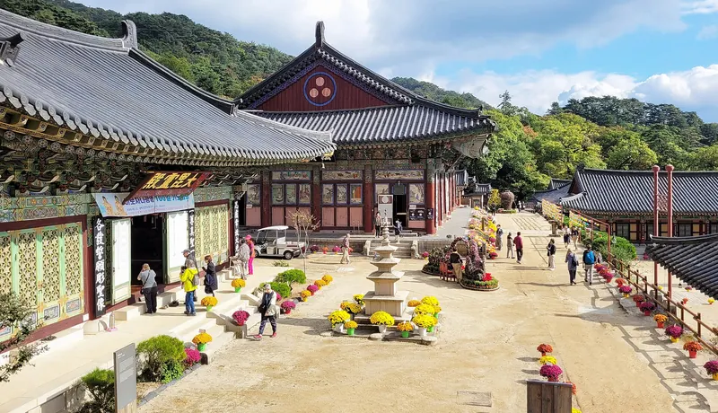
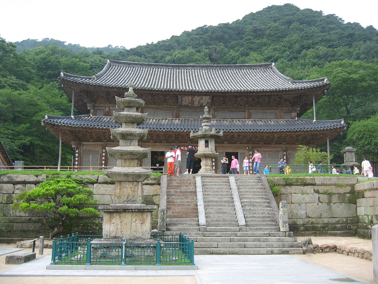
Hwaeomsa, 5.4 km east of Gurye town, is the great temple of the Gurye side. VisitKorea says it was founded in 544 during the Baekje period, burnt down during the Imjin War (1592–1598) and rebuilt in 1636 after seven years of work. Today it has about 20 buildings, and its cultural assets include National Treasures. The temple also runs a templestay. Allow an unhurried morning or late afternoon for the temple, and combine it with a meal on the food street at the entrance (see below).
From the temple, the Hwaeom valley course climbs to Nogodan the hard way. KNPS lists it from Hwaeomsa via Yeongiam hermitage to Munneomgi, just below Nogodan on the Seongsamjae path: 7 km and about 4 hours, at its hardest grade. When we checked on 2026-10-03, KNPS allowed entry from Hwaeomsa towards Nogodan only from 03:00 to 12:00 between April and October and from 04:00 to 11:00 between November and March. Entry towards Seongsamjae closed an hour later. A good plan for a fit walker is to take the bus or a taxi up to Seongsamjae, visit Nogodan, and walk *down* the valley to Hwaeomsa. The views are the same, it is easier on the lungs, and you end at the temple and the food street. A descent this steep is still hard on the knees, though.
Cheonwangbong from Jungsan-ri
Cheonwangbong (1,915 m) is the summit of Jirisan and the second-highest peak in South Korea after Hallasan. The usual approach is from the Jungsan-ri visitor centre in Sicheon-myeon, Sancheong County, on the eastern side. KNPS lists two loops from there. The Kalbawi course climbs via Kalbawi and the Rotary shelter to the summit and returns to Jungsan-ri: 10.8 km and about 8 hours, a day course. The Jangteomok course goes up via the Jangteomok shelter and down via the Rotary shelter: 12.4 km and about 9 hours, which KNPS classes as an overnight (1박2일) course. Both are rated at KNPS's middle grade. You will still be climbing for most of the day.
Entry hours decide the day. When we checked on 2026-10-03, KNPS allowed entry at the Jungsan-ri visitor centre from 03:00 to 14:00 between April and October and from 04:00 to 13:00 between November and March. The cut-off is two hours later for people with a Rotary shelter booking and for visitors to Beopgyesa temple, and an hour later for Jangteomok shelter bookings. For the summit day, start as early as entry allows and carry your own food and water. KNPS posted a notice that 2-litre bottles of water had sold out at the Rotary shelter, a reminder not to rely on shelter shops. On the Hamyang side, the steep Chilseon valley route to the summit works by reservation only. The KNPS booking site lists it as 10 km and 8 hours one way from the Chuseong car park, for 60 people a day, with a 06:40 safety briefing. When we checked, that page still showed the 2025 season (1 May–31 October, Friday to Tuesday), so confirm the current dates before you plan around it.
The ridge trek: planning around shelters
Walking the main ridge from the Nogodan end to Cheonwangbong takes more than one day, and it only works with shelter bookings. When we checked on 2026-10-03, the KNPS booking site listed six Jirisan shelters: Nogodan, Yeonhacheon, Byeoksoryeong, Jangteomok, Rotary and Chibatmok. Book them on reservation.knps.or.kr. The Nogodan shelter page listed 36 bunk places. The price was 20,000 won a night on weekdays (Sunday to Thursday, except the eve of a public holiday) and 30,000 won on Fridays, Saturdays, the eve of public holidays and in the peak periods of 1 July–31 August and 1 October–15 November. The shelter sold basics such as water, instant rice, gas canisters and chain crampons. Prices for the other shelters are on the same site.
Build the route around the entry cut-offs rather than distance. The same rules that apply at the trailheads also apply at checkpoints on the ridge. KNPS extends some cut-offs by one or two hours for people who hold a booking at the next shelter. Leaving Nogodan Pass towards the ridge after 12:00 (11:00 in winter) is not allowed. KNPS does not publish one end-to-end time for the ridge on its course list, so we do not give one here. Use the KNPS course times for each section, a printed map and the shelter you have actually booked to plan each day. KNPS's Jangteomok course shows how the eastern end fits together: a night at the Jangteomok shelter, the summit, then down via the Rotary shelter to Jungsan-ri, where KNPS routes buses towards Jinju. If you have only one free day, choose Nogodan or Cheonwangbong instead. The ridge is not a day hike.
Easier valleys: Piagol, Baemsagol, Guryong and Ssanggyesa
Several valleys give you Jirisan without a summit. Piagol, between Nogodan and Banyabong on the Gurye side, is named for the crimson maples that fill it in autumn. VisitKorea says the valley path is not steep for its first 6 km from the ticket booth, past Yeonjudam and Samhongso pools, before a steep final 2 km to Imgeollyeong Pass. Yeongoksa temple stands near the entrance. KNPS lists the course from Yeongoksa via Jikjeon village and the Piagol shelter to the Piagol junction on the ridge as 8.8 km and about 5 hours. You can walk part of the way in and turn back.
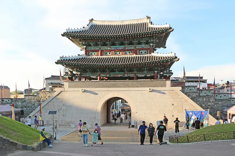
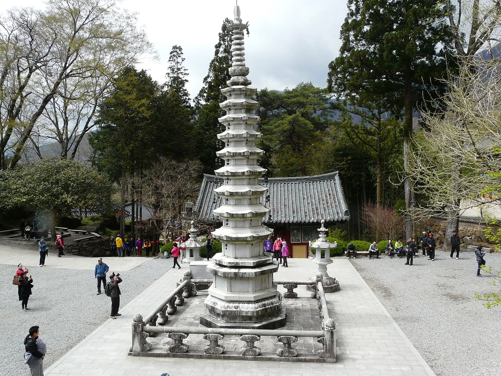
On the Namwon side, Baemsagol is a 9 km valley running north from Banyabong, known for its autumn colour and summer water (VisitKorea). KNPS lists the full course from Banseon to Hwagaejae on the ridge as 9.2 km and about 4 hours 20 minutes. The Guryong valley, also in Namwon, is a shorter outing: 3.1 km and about 2 hours to Guryong Falls (KNPS). In Hadong, on the southern side, Ssanggyesa temple was founded in 722, VisitKorea says, and is known for the 6 km of cherry trees on its approach road. VisitKorea listed its hours as 08:00–17:30 and entry as free. From there, KNPS rates the round trip to Bulil Falls (60 m, the tallest on Jirisan according to VisitKorea) as 4.8 km and about 3 hours, at its easiest grade.
Getting there and getting around
For the Gurye side, KNPS's route guide gives buses from Seoul Nambu Terminal to the Gurye bus terminal and on to Seongsamjae (about 4 hours in all) or to Hwaeomsa (about 3 hours 30 minutes). By train, it routes you to Guryegu Station and then by bus from Gurye town; it names Seoul Station on one page and Yongsan on another, so check which station your train uses. KNPS gives similar bus routes via Gurye from Busan, Daegu and Gwangju. For Jungsan-ri, KNPS routes buses from Seoul Nambu Terminal via the Wonji intercity terminal (about 4 hours 35 minutes) or from Busan Seobu Terminal via Jinju (about 2 hours 40 minutes). From the Jungsan-ri bus stop it is a 1.5 km walk to the park office. We could not confirm current timetables for the mountain buses from an official source, so check them locally the evening before.
With a car, the Gurye side is straightforward. VisitKorea lists KNPS car parks at the Hwaeomsa entrance and in Piagol, charged by time. When we checked on 2026-10-03, the first hour for a small or mid-sized car was 1,100 won, with extra charges for each 10 minutes after that. The road to Seongsamjae (Gurye county road 12) is sometimes closed, so check KNPS notices before you set off. KNPS also closes trails in bad weather and during forest-fire prevention periods, and publishes the current closures on its trail-control page.
Practical questions
What is the easiest way to see Jirisan?
Go up to Seongsamjae and walk to Nogodan. KNPS lists the course from the Seongsamjae car park to Nogodan Pass as 4.7 km and about an hour, at its easiest grade. The short summit section above the pass needs a reservation on the KNPS booking site.
Do I need a reservation for Nogodan?
Only for the last section from Nogodan Pass to the summit. When we checked on 2026-10-03, it was open from 05:00 to 17:00 with last entry at 16:00 and a daily quota of 1,870, booked online, on site or by phone (1670-9202). The walk from Seongsamjae to the pass needs no reservation.
How long does it take to climb Cheonwangbong?
KNPS lists the Kalbawi loop from Jungsan-ri via the Rotary shelter to the summit and back as 10.8 km and about 8 hours. When we checked, entry at Jungsan-ri was allowed until 14:00 from April to October and until 13:00 from November to March.
How do I book a Jirisan shelter?
Through the KNPS reservation site, reservation.knps.or.kr. When we checked on 2026-10-03, it listed the Nogodan, Yeonhacheon, Byeoksoryeong, Jangteomok, Rotary and Chibatmok shelters. Nogodan cost 20,000 won on weekdays and 30,000 won at weekends and in peak periods.
When is the autumn foliage on Jirisan?
VisitKorea's 2026 forecast expected the first colour on 28 October and the peak around 5 November. Piagol and Baemsagol are the valleys best known for autumn colour.
How do I get to Jirisan from Seoul?
For the Gurye side, KNPS routes buses from Seoul Nambu Terminal to Gurye and on to Seongsamjae (about 4 hours) or Hwaeomsa (about 3 hours 30 minutes), or trains to Guryegu Station and a bus from Gurye town. For Cheonwangbong, buses run from Seoul Nambu Terminal via Wonji to Jungsan-ri.
Sources and checks before you travel
Reference sources for the version dated 3 October 2026. Confirm opening times, access, transport and conditions for your travel dates.
- Korea National Park Service: Jirisan National Park (Korean) ↗ — opens in a new tab
- Korea National Park Service: Jirisan trail courses (Korean) ↗ — opens in a new tab
- Korea National Park Service: designated entry hours (Korean) ↗ — opens in a new tab
- Korea National Park Service: Jirisan transport guide (Korean) ↗ — opens in a new tab
- KNPS reservation system: Jirisan shelters (Korean) ↗ — opens in a new tab
- KNPS reservation system: Nogodan reserved trail (Korean) ↗ — opens in a new tab
- KNPS reservation system: Chilseon valley reserved trail (Korean) ↗ — opens in a new tab
- VisitKorea: Jirisan National Park (Nogodan Peak Section) ↗ — opens in a new tab
- VisitKorea: Jirisan Cheonwangbong Peak ↗ — opens in a new tab
- VisitKorea: Jirisan National Park (Sancheong) ↗ — opens in a new tab
- VisitKorea: Hwaeomsa Temple ↗ — opens in a new tab
- VisitKorea: Piagolgyegok Valley ↗ — opens in a new tab
- VisitKorea: Baemsagol Valley ↗ — opens in a new tab
- VisitKorea: Hadong Ssanggyesa Temple ↗ — opens in a new tab
- VisitKorea: Burilpokpo Falls ↗ — opens in a new tab
- VisitKorea: 2026 Fall Foliage Forecast ↗ — opens in a new tab
- VisitKorea: A Wellness Day Trip in Seoul (Hwaeom Nature Table Food Street) ↗ — opens in a new tab
- VisitKorea: Temple Noodles (Sachal guksu) ↗ — opens in a new tab
- VisitKorea: Baemsagol Jirisan Sikdang ↗ — opens in a new tab
- VisitKorea: Hadong Hwagae Market ↗ — opens in a new tab
- VisitKorea: Gurye Fifth-Day Market ↗ — opens in a new tab
- VisitKorea: Hotel Jirisan Haetsal ↗ — opens in a new tab
- VisitKorea: Jirisan Hanok Village ↗ — opens in a new tab
- VisitKorea: Airport Transportation Guide ↗ — opens in a new tab
Photo credits
Jirisan's ridges in October: the main ridge is a chain of peaks, not a single summit.
Photograph: by eimoberg — opens in a new tab · CC BY 2.0 — opens in a new tab
Changes: Resized and converted to WebP; displayed with responsive crops. · Original photograph and licence details ↗ — opens in a new tab
Azaleas in bloom at Nogodan in May; the summit section above Nogodan Pass needs a reservation.
Photograph: Eggmoon — opens in a new tab · CC BY-SA 3.0 — opens in a new tab
Changes: Resized and converted to WebP; displayed with responsive crops. · Original photograph and licence details ↗ — opens in a new tab
Hwaeomsa at the foot of Jirisan, where the steep Hwaeom valley course to Nogodan begins.
Photograph: by eimoberg — opens in a new tab · CC BY 2.0 — opens in a new tab
Changes: Resized and converted to WebP; displayed with responsive crops. · Original photograph and licence details ↗ — opens in a new tab
Ssanggyesa in Hadong, on the southern side of Jirisan, where the Bulil Falls walk begins.
Photograph: myself ( User:Piotrus ) — opens in a new tab · CC BY-SA 3.0 — opens in a new tab
Changes: Resized and converted to WebP; displayed with responsive crops. · Original photograph and licence details ↗ — opens in a new tab
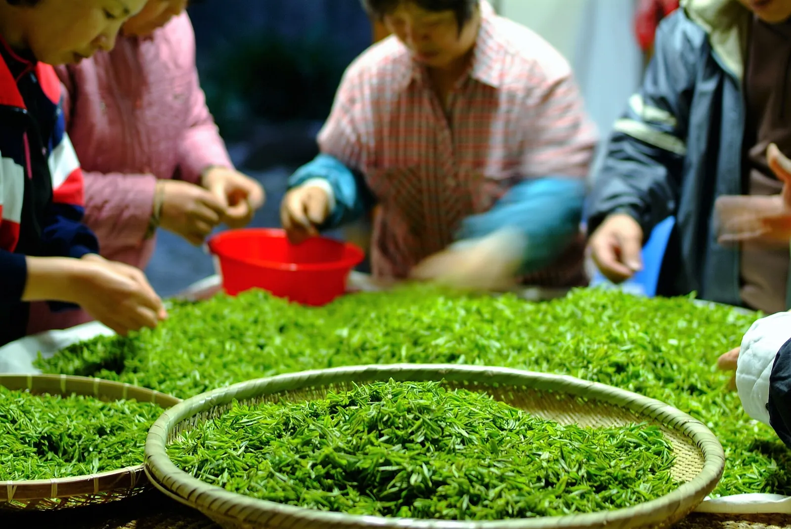
Sorting freshly picked sejak green tea leaves from Jirisan.
Photograph: youngki son — opens in a new tab · CC0 — opens in a new tab
Changes: Resized and converted to WebP; displayed with responsive crops. · Original photograph and licence details ↗ — opens in a new tab