Northeast Thailand (Isan) · Loei
Loei travel guide: Phu Kradueng, Phu Ruea and the Phi Ta Khon festival
Loei is Isan's mountain province, green, cool and lightly visited. TAT describes it as one of Thailand's least-populated provinces, with some of the best trekking in the country. Thais come in the cool season to hike up Phu Kradueng, watch the sea of mist from Phu Ruea and stroll the riverside town of Chiang Khan; in early summer, Dan Sai fills with masked ghosts for Phi Ta Khon.
- Suggested time
- 3–4 days
- Where to stay
- Loei town, Phu Ruea and Chiang Khan
- Season and timing
- November to February, when TAT reports averages around 15°C at Phu Kradueng and near-freezing nights; Phi Ta Khon falls between March and July.
The short answer
Plan three or four days in the cool season. Hike up Phu Kradueng's plateau (closed in the rainy season, June to September), drive to Phu Ruea for a misty sunrise, visit the Phi Ta Khon museum in Dan Sai, and end in Chiang Khan on the Mekong. Fly from Bangkok to Loei Airport and rent a car; distances are long.
Phu Kradueng
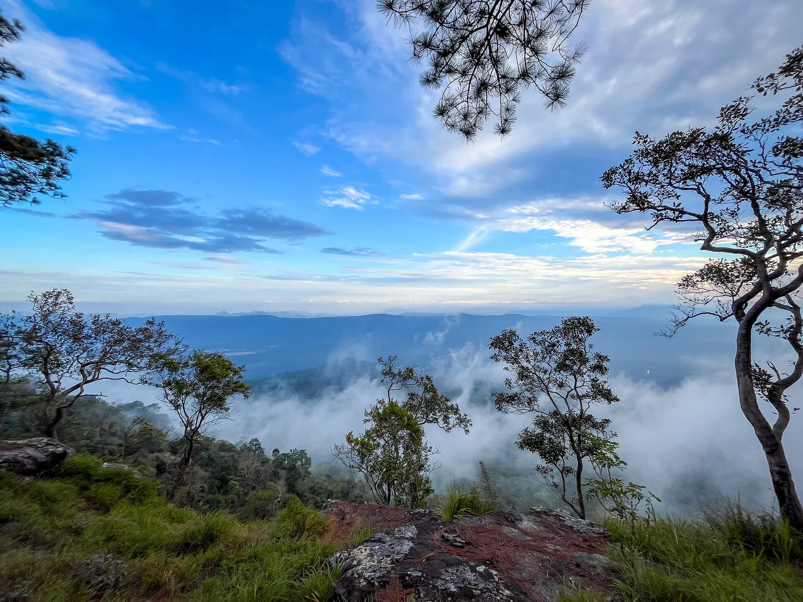
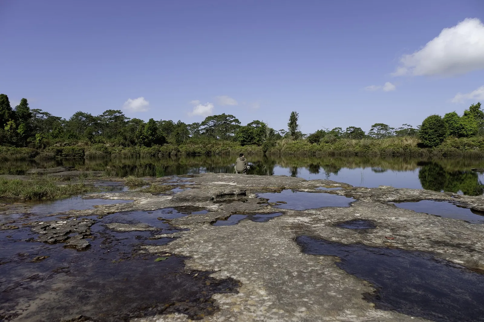
Phu Kradueng National Park, about 80 kilometres south of Loei town, is the second-oldest of Thailand's national parks after Khao Yai, according to TAT. The Ministry of Tourism and Sports' directory describes a sandstone mountain with a plateau of about 60 square kilometres on top, at 400 to 1,200 metres, and a high point of 1,316 metres.
TAT calls the few-hour trek through pine forest to the plateau almost a rite of passage for young Thais. Start early, and consider a night at the lower visitor centre before. The park closes in the rainy season, June to September; check current opening and the QueQ booking rules.
Phu Ruea and the sea of mist
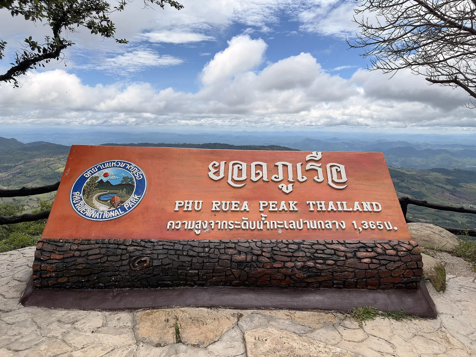
Some 50 kilometres west of Loei town, Phu Ruea National Park rises to 1,365 metres, with views towards the Mekong and Hueang rivers and Laos, as TAT describes. Rangers' songthaews take visitors up before dawn for the sunrise over the mist.
Bring warm clothes: TAT warns it can be freezing at the top. Nearby, the Chateau de Loei vineyard has a tasting room.
Make time for the local food
What to eat and where to look
Isan dishes
Spicy salads, grilled meats and sticky rice, the everyday food of the province.
- Where to look
- Local restaurants in Loei town.
- Fit it into your day
- Dinner after a day on the mountain roads.
Ask about chilli and pla ra.
Park canteen meals
Simple Thai meals at national park visitor centres, as TAT notes at Phu Ruea.
- Where to look
- Visitor centres at Phu Kradueng and Phu Ruea.
- Fit it into your day
- Before or after the hike.
Limited choice; bring snacks.
Floating raft lunch
TAT describes rafts towed onto Huai Krathing Reservoir where food is brought out by boat.
- Where to look
- Huai Krathing Reservoir.
- Fit it into your day
- A relaxed afternoon with friends.
Agree prices before boarding.
Phi Ta Khon in Dan Sai
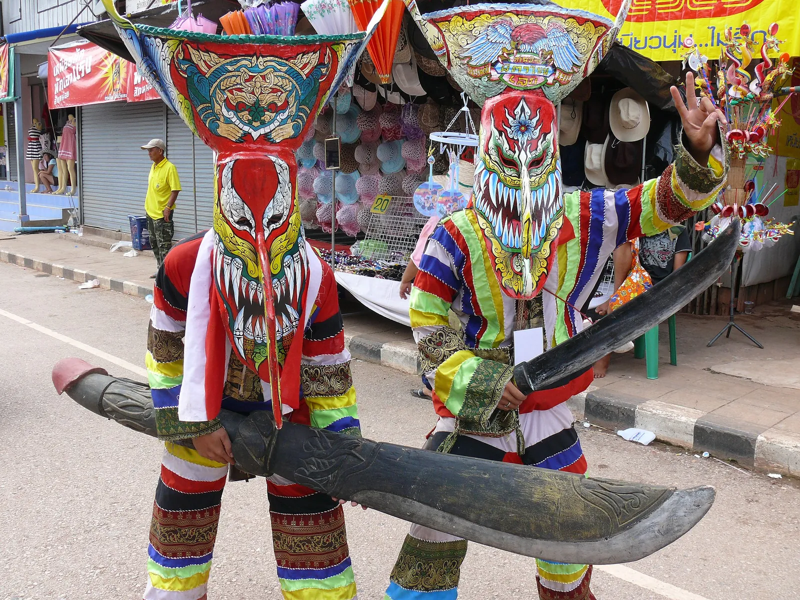
Phi Ta Khon is part of the three-day Bun Phawet festival in Dan Sai district, held between March and July on dates chosen each year by local mediums, as TAT explains. Revellers in masks of painted rice husk topped with sticky-rice baskets parade to Wat Pho Chai with bells and music.
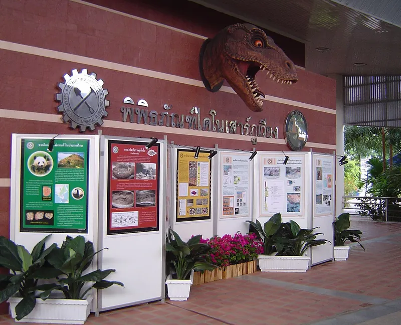
Out of season, the Dan Sai Folk Museum shows the masks and history of the festival, with mask-making demonstrations, according to the directory.
Phu Ho, Phu Pa Po and Suan Hin Pha Ngam
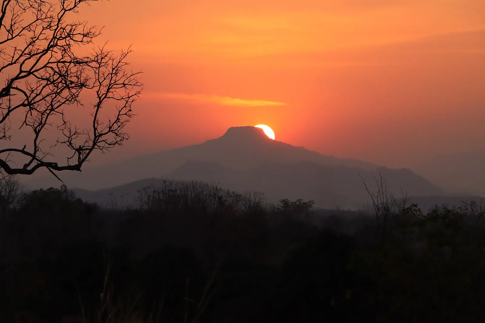
TAT describes Phu Ho, a 900-metre peak said to resemble Mount Fuji, best seen from nearby Phu Pa Po, and the limestone formations of Suan Hin Pha Ngam, nicknamed Loei's Kunming.
These are rural areas with little public transport; a car is essential.
Getting there
Loei Airport has flights from Bangkok; TAT reported a daily Thai Smile service from Suvarnabhumi when it launched in 2020. Check current airlines and schedules.
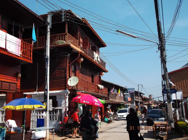
From town, Chiang Khan on the Mekong is just under 50 kilometres away, according to TAT.
Practical questions
When is Phu Kradueng closed?
In the rainy season, June to September, according to TAT. Check current opening before you go.
When is Phi Ta Khon?
Between March and July, on dates chosen each year by local mediums. Check well in advance.
How cold does Loei get?
TAT reports average temperatures around 15°C at Phu Kradueng in the cool season, dropping close to zero at night.
How do I get to Loei?
Fly from Bangkok to Loei Airport, then rent a car.
Sources and checks before you travel
Reference sources for the version dated 1 October 2026. Confirm opening times, access, transport and conditions for your travel dates.
- TAT Newsroom: Loei's natural attractions in the cooler months ↗ — opens in a new tab
- Thailand Tourism Directory: Phu Kradueng National Park ↗ — opens in a new tab
- TAT Newsroom: Phi Ta Khon festival ↗ — opens in a new tab
- Thailand Tourism Directory: Dan Sai and Phi Ta Khon museum ↗ — opens in a new tab
- TAT Newsroom: The lowdown on lovely Loei ↗ — opens in a new tab
- TAT Newsroom: Mountains, national parks and temples of Phetchabun and Loei ↗ — opens in a new tab
Photo credits
The view from the cliffs of Phu Kradueng.
Photograph: Nicetory — opens in a new tab · CC BY-SA 4.0 — opens in a new tab
Changes: Resized and converted to WebP; displayed with responsive crops. · Original photograph and licence details ↗ — opens in a new tab
A pond on the Phu Kradueng plateau.
Photograph: Pulperm Phungprachit — opens in a new tab · CC BY-SA 4.0 — opens in a new tab
Changes: Resized and converted to WebP; displayed with responsive crops. · Original photograph and licence details ↗ — opens in a new tab
The summit of Phu Ruea.
Photograph: Tree Lightbulb — opens in a new tab · CC BY 4.0 — opens in a new tab
Changes: Resized and converted to WebP; displayed with responsive crops. · Original photograph and licence details ↗ — opens in a new tab
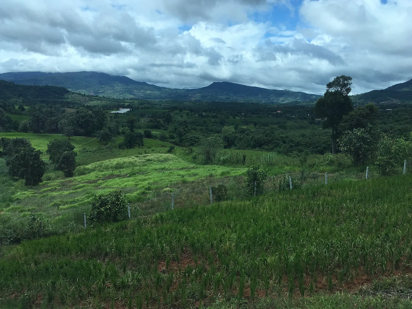
The countryside of Phu Ruea district.
Photograph: Christophe95 — opens in a new tab · CC BY-SA 4.0 — opens in a new tab
Changes: Resized and converted to WebP; displayed with responsive crops. · Original photograph and licence details ↗ — opens in a new tab
Phi Ta Khon masks from Dan Sai.
Photograph: E.D.W. — opens in a new tab · Public domain — opens in a new tab
Changes: Resized and converted to WebP; displayed with responsive crops. · Original photograph and licence details ↗ — opens in a new tab
Sunset over Phu Ho from Phu Pa Po.
Photograph: Pinchai — opens in a new tab · CC BY-SA 4.0 — opens in a new tab
Changes: Resized and converted to WebP; displayed with responsive crops. · Original photograph and licence details ↗ — opens in a new tab