Eastern Thailand · Trat
Koh Chang travel guide: rainforest, waterfalls and island hopping
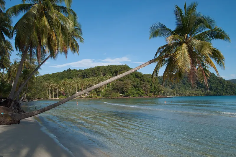
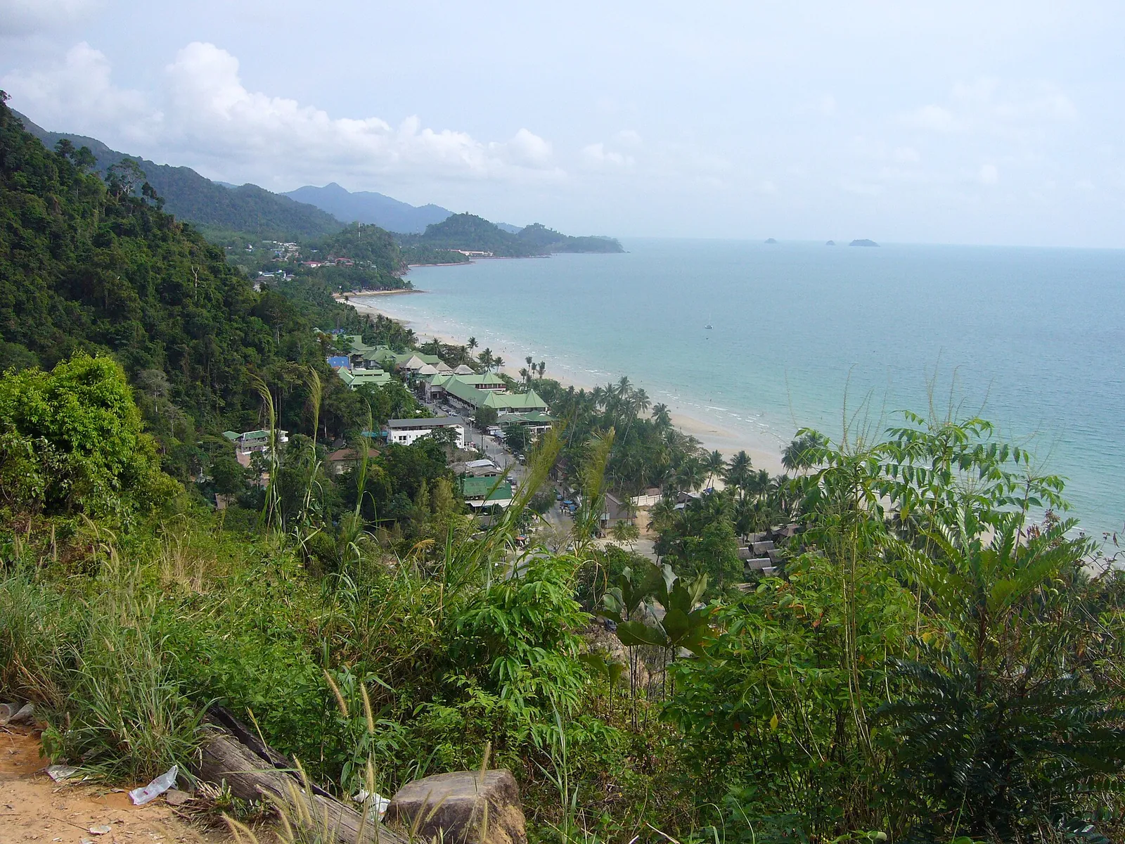
Koh Chang is one of Thailand's largest islands: a mountainous island of steep cliffs and evergreen rainforest, with more than 50 smaller islands around it. Most of it lies within Mu Koh Chang National Park, declared in 1982. Beaches line the west coast; the interior is all forest and waterfalls.
- Suggested time
- 4–5 nights
- Where to stay
- West-coast beaches
- Season and timing
- November to April for calmer seas and sunshine; the south-west monsoon brings rain and waves from about May to October.
The short answer
Stay four or five nights. Base yourself on the west coast for the beaches, spend a day at Than Mayom waterfall on the east coast, and take a boat trip to snorkel off Koh Wai and the islands to the south. Fly to Trat from Bangkok and take the ferry from the mainland. Go between November and April for calm seas.
The island
The directory describes Koh Chang as an island of steep mountains and complex rock cliffs, covered by evergreen forest that feeds many waterfalls. It was once uninhabited, a shelter from the monsoon winds and a source of food and water known to Chinese, Hainanese and Vietnamese seafarers.
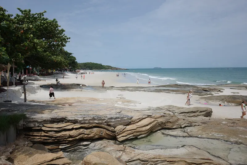
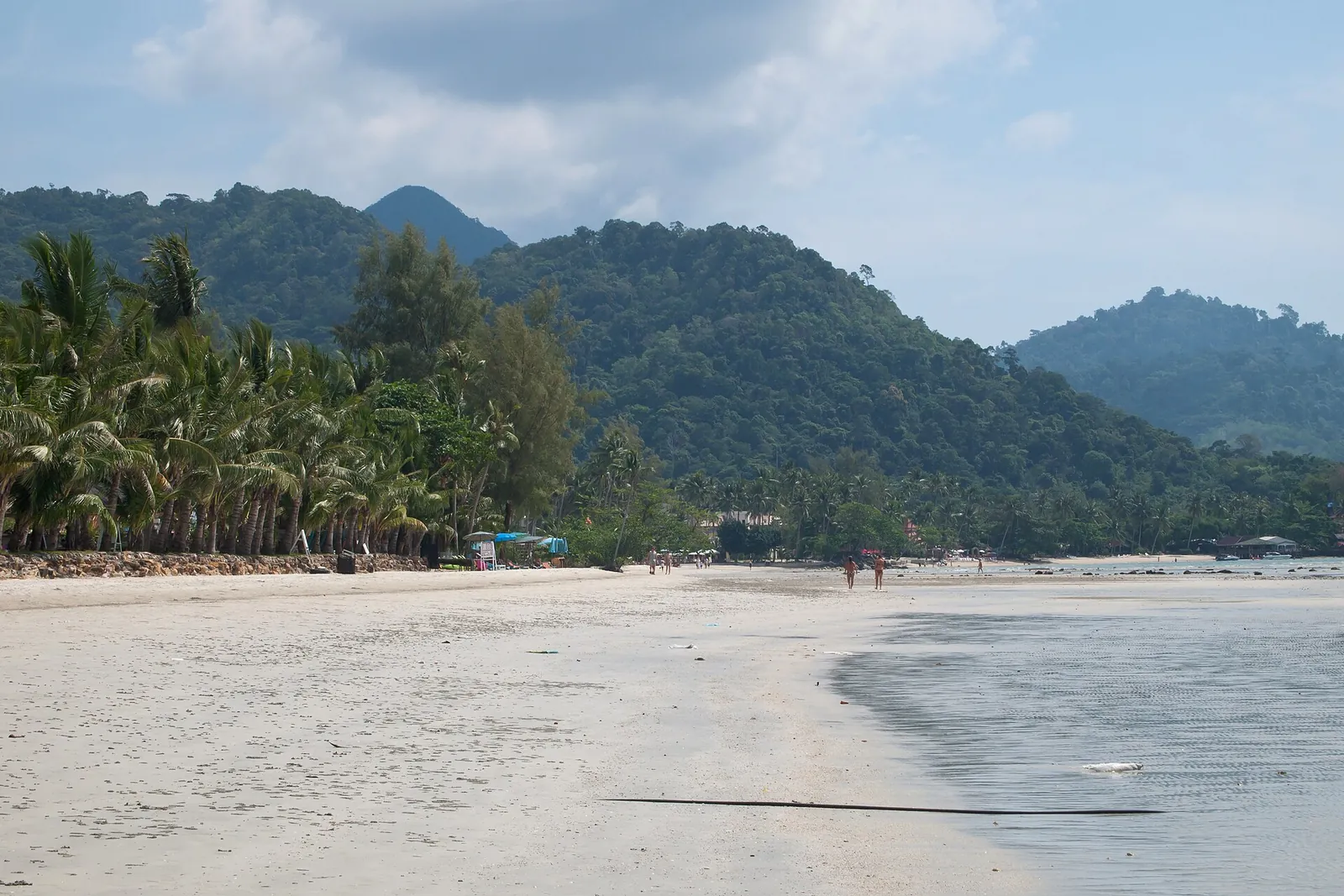
The west coast has the island's best-known beaches and most accommodation; the east coast is quieter.
Than Mayom waterfall
On the east coast, Than Mayom is described by the directory as the most beautiful waterfall on Koh Chang, with water all year round. It is a four-tiered waterfall flowing through black granite, surrounded by forest; King Rama V visited it nine times and, with Kings Rama VI and VII, left royal inscriptions here.
Wear sturdy shoes and check national park fees at the entrance.
Make time for the local food
What to eat and where to look
Seafood dinners
Grilled fish, prawns and squid at beachfront restaurants.
- Where to look
- West-coast beaches in the evening.
- Fit it into your day
- Dinner at sunset.
Prices often by weight.
Thai curries and stir-fries
Everyday Thai dishes at small family restaurants.
- Where to look
- Along the main road behind the beaches.
- Fit it into your day
- Lunch.
Ask about chilli.
Fresh fruit and shakes
Tropical fruit from the eastern mainland, sold fresh or blended.
- Where to look
- Stalls and cafés near the beaches.
- Fit it into your day
- A snack after swimming.
Seasonal.
Koh Wai and the southern islands
Between Koh Chang and Koh Mak, Koh Wai has clear water and coral reefs you can swim to from the beach, simple bungalows and no nightlife, as the directory describes.
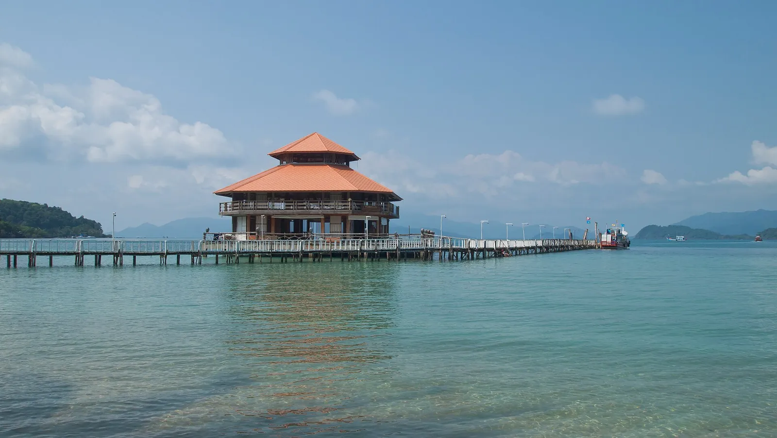
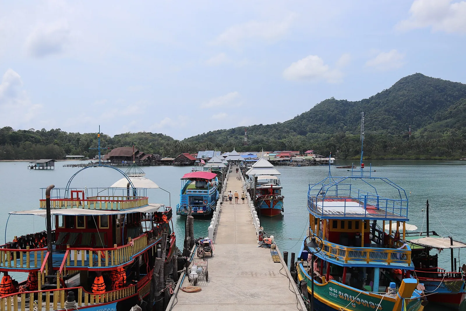
Day trips by boat combine several islands for snorkelling. Choose operators that use moorings rather than anchors on reefs, and never stand on coral.
Getting there
Fly to Trat with Bangkok Airways from Suvarnabhumi, or take a bus to Trat, then cross by car ferry from the mainland coast.
The island's main road runs around most of the coast; songthaews link the beaches.
Practical questions
How big is Koh Chang?
It is one of Thailand's largest islands, mountainous and mostly covered by national park forest.
How do I get to Koh Chang?
Fly or take a bus to Trat, then take the ferry from the mainland.
When is the best time to visit?
November to April, when seas are calmer.
Can I snorkel on Koh Chang?
Yes, mostly on boat trips to the smaller islands such as Koh Wai, where reefs are close to the beach.
Sources and checks before you travel
Reference sources for the version dated 1 October 2026. Confirm opening times, access, transport and conditions for your travel dates.
- Thailand Tourism Directory: Koh Chang ↗ — opens in a new tab
- Thailand Tourism Directory: Than Mayom Waterfall ↗ — opens in a new tab
- Thailand Tourism Directory: Koh Wai ↗ — opens in a new tab
- TAT Newsroom: Bangkok Airways flights to Trat ↗ — opens in a new tab
- Thailand.go.th: the seasons of Thailand ↗ — opens in a new tab
Does this experience fit your route?
Compare the programme, departure point and practical requirements with your travel plans.
Check dates and details on Viator ↗ — opens in a new tabAffiliate link · Book with ViatorPhoto credits
The west coast of Koh Chang.
Photograph: Nick Steemans — opens in a new tab · CC BY 3.0 — opens in a new tab
Changes: Resized and converted to WebP; displayed with responsive crops. · Original photograph and licence details ↗ — opens in a new tab
A west-coast beach on Koh Chang.
Photograph: Vyacheslav Argenberg — opens in a new tab · CC BY 4.0 — opens in a new tab
Changes: Resized and converted to WebP; displayed with responsive crops. · Original photograph and licence details ↗ — opens in a new tab
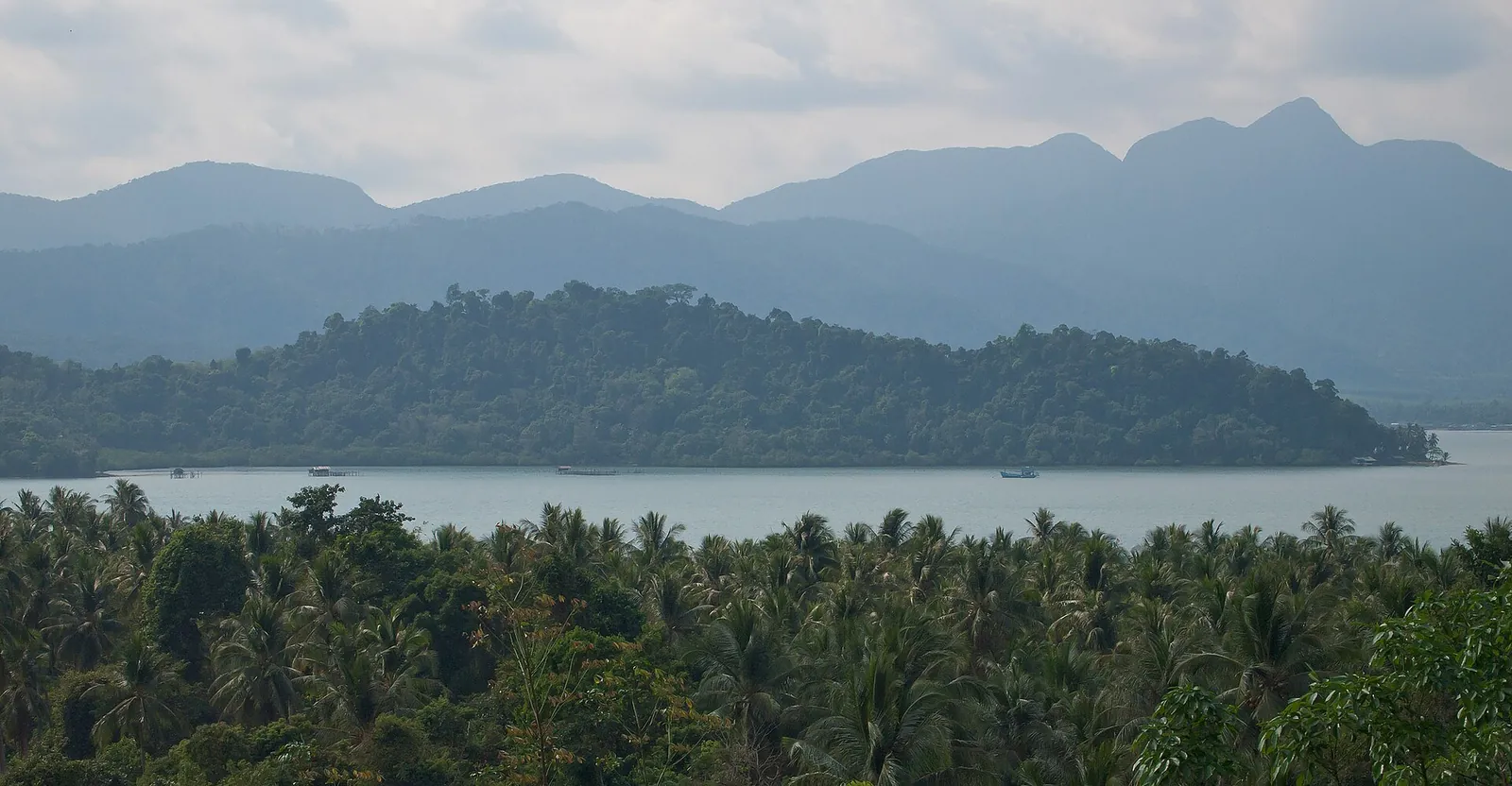
The eastern bays of Koh Chang.
Photograph: VascoPlanet Photography , Thailand section — opens in a new tab · CC BY 3.0 — opens in a new tab
Changes: Resized and converted to WebP; displayed with responsive crops. · Original photograph and licence details ↗ — opens in a new tab
Koh Wai, in Mu Koh Chang National Park.
Photograph: Vyacheslav Argenberg — opens in a new tab · CC BY 4.0 — opens in a new tab
Changes: Resized and converted to WebP; displayed with responsive crops. · Original photograph and licence details ↗ — opens in a new tab
Bang Bao pier, where many boat trips leave.
Photograph: Claudio Bentz — opens in a new tab · CC BY-SA 3.0 — opens in a new tab
Changes: Resized and converted to WebP; displayed with responsive crops. · Original photograph and licence details ↗ — opens in a new tab
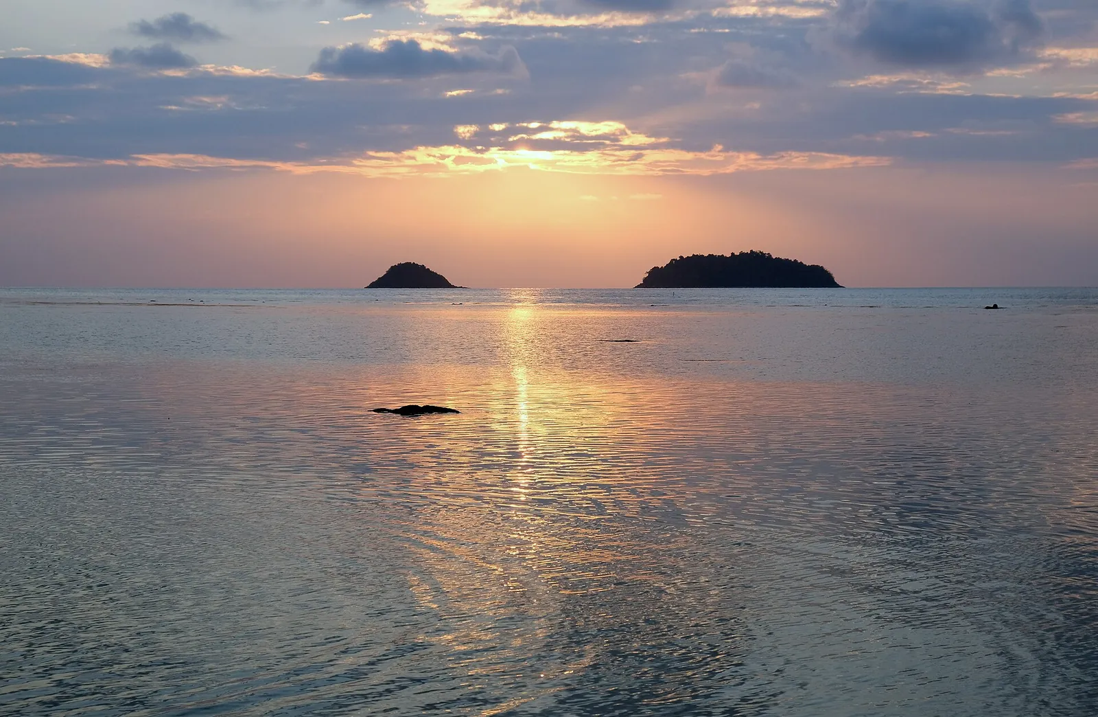
Sunset off Koh Chang's west coast.
Photograph: kallerna — opens in a new tab · CC BY-SA 4.0 — opens in a new tab
Changes: Resized and converted to WebP; displayed with responsive crops. · Original photograph and licence details ↗ — opens in a new tab